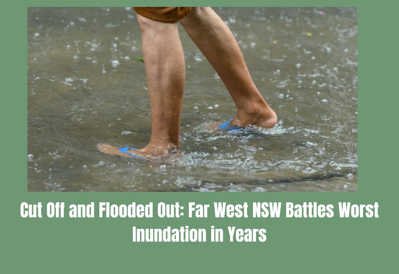
Cut Off and Flooded Out: Far West NSW Battles Worst Inundation in Years
Kimberly Grabham
05 March 2026, 7:00 PM
IN SHORT
- Roads, rail and flights all disrupted: The Barrier Highway is closed in most directions, the Sydney-to-Perth rail line is expected to remain shut until at least Sunday, and fog from the weather system grounded both REX and Qantas flights at Broken Hill's Silver City Airport.
- Communities isolated across a vast region: Dozens of roads across the Far West remain closed, with White Cliffs, Wilcannia, Tibooburra and surrounding station country among the most deeply cut off. The NSW SES has issued Prepare Now warnings for several of these communities with more rain on the way.
-Help is on standby — but don't drive through floodwater: The NSW SES has deployed a high-clearance vehicle to Broken Hill and has air assets available for emergency resupply and rescue. The message from authorities is clear: do not attempt to drive through floodwaters under any circumstances.
The Far West of New South Wales is in the grip of one of its most disruptive flood events in recent years, with communities across the Broken Hill, Central Darling and Far West regions dealing with road closures, damaged infrastructure, isolated homesteads and more rain still to come.
The event began when a tropical low-pressure system pushed south across the network in South Australia, western Victoria and southern New South Wales in late February. Emergency warnings for life-threatening flash flooding were issued by the Bureau of Meteorology for vast areas of Victoria and New South Wales, with six-hourly rainfall totalling up to 100mm possible across a warning area stretching more than 650 kilometres — from Seymour in central Victoria all the way to Broken Hill in the far west. More than 65mm fell over the Broken Hill area across the weekend alone.
Communities across Central Darling Shire, including White Cliffs and Wilcannia, found themselves even more deeply isolated, with Transport for NSW confirming the majority of local roads across the Far West remain closed due to flooding and slippery surfaces. The NSW State Emergency Service has issued a Prepare Now warning for Tibooburra, White Cliffs, Wanaaring, Tilpa and Milparinka, advising residents and property owners that heavy rainfall and flash flooding are forecast, arriving on top of ground that is already well beyond capacity.
The road network across the region has taken a significant hit. Closures most directly affecting the Central Darling area include the Old Pooncarie Road, the Wanaaring to Wilcannia Road north section, Henry Roberts Road between White Cliffs and Cobham, which is open to four-wheel-drives only: Tandou Road, Netley Road and Loch Lilly Road. The Mutawintji Road is shut in both directions. Further west, the Cut Line is closed between Tibooburra, Borrona Downs and Wanaaring, and Cameron Corner Road from Tibooburra to Fortville Gate is also closed. On the state highway network, the Silver City Highway from Broken Hill to Packsaddle and from Packsaddle to Tibooburra remains open, but Transport for NSW is advising drivers to travel to conditions. The Wilangee Road between Broken Hill and Wilangee is open to general traffic with caution, though four-wheel-drive is recommended, and the section from Wilangee through to McDougals Well is closed entirely.
The Barrier Highway, which is the main link between Broken Hill and the east, is closed in most directions after the weekend's downpour damaged the road surface and stranded travellers. The situation on the ground is described as severely deteriorated, with supply routes connecting stations, homesteads and townships to Broken Hill and Cobar among those affected.
The rail network has also taken a major blow. The Broken Hill and Whyalla lines and sections of the east-west corridor are currently closed while detailed assessments are undertaken, including aerial inspections to verify damage. The Sydney to Perth corridor is expected to remain closed until at least Sunday, with reopening timeframes dependent on the outcomes of track inspections. With multiple highways currently disrupted, rail is playing a big role in maintaining the movement of supermarket goods and other critical freight between states. The Australian Rail Track Corporation said it was restoring critical rail links to keep Australia's national supply chain moving. Crews have been working around the clock to make repairs, but the scale of the damage means full restoration is still some days away.
Adding to the pressure on an already stretched region, thick fog settled over Broken Hill and grounded flights at Silver City Airport, with services operated by REX and Qantas both delayed. For people in remote communities, air access is often the only option when roads close, so disruption to flights adds a serious layer of difficulty for those needing medical care, essential goods or a way out.
The outlook remains concerning. With the ground already saturated and further rainfall in the forecast, authorities are warning that conditions are likely to deteriorate further before they improve. More road closures are considered a real possibility, and some communities may remain cut off for an extended period.
The NSW SES has deployed a high-clearance vehicle to Broken Hill and has air assets on standby, and is prepared to assist communities with resupply of essential medical, food and water supplies, or rescue if required. Superintendent Watson from the NSW SES urged anyone likely to be isolated to stock up on essential items while it is still safe to do so.
The message from every authority is the same: do not drive through floodwater. No matter how shallow it looks, floodwater on outback roads can be moving faster and be deeper than it appears, and roads beneath the surface may be damaged or completely washed away.
HELP AND SUPPORT — KEY CONTACTS & RESOURCES
For emergency flood and storm assistance:
NSW State Emergency Service — call 132 500 (24 hours, 7 days)
Life-threatening emergency:
Call Triple Zero (000)
Road conditions:
Live Traffic NSW — livetraffic.com or call 132 700
Broken Hill City Council road conditions — 08 8080 3300
Weather warnings:
Bureau of Meteorology — bom.gov.au
Stay across warnings:
Download the Hazards Near Me app and set your watch zone for real-time alerts
SES information and updates:
NEWS


RURAL
COMMUNITY