Drones take flight to protect vital Lowbidgee wetland lignum
Krista Schade
28 July 2025, 11:45 PM
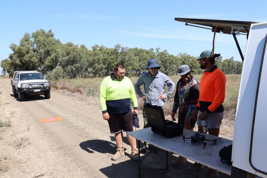 Nari Nari Rangers Rangers Patty Stewart, Jermaine Dixon and Dion Wait and Flow- MER scientist Andrew Hall inspecting the equipment prior to the survey. Image: Flow-MER
Flow-MER and Nari Nari Tribal Council project assesses wetland health
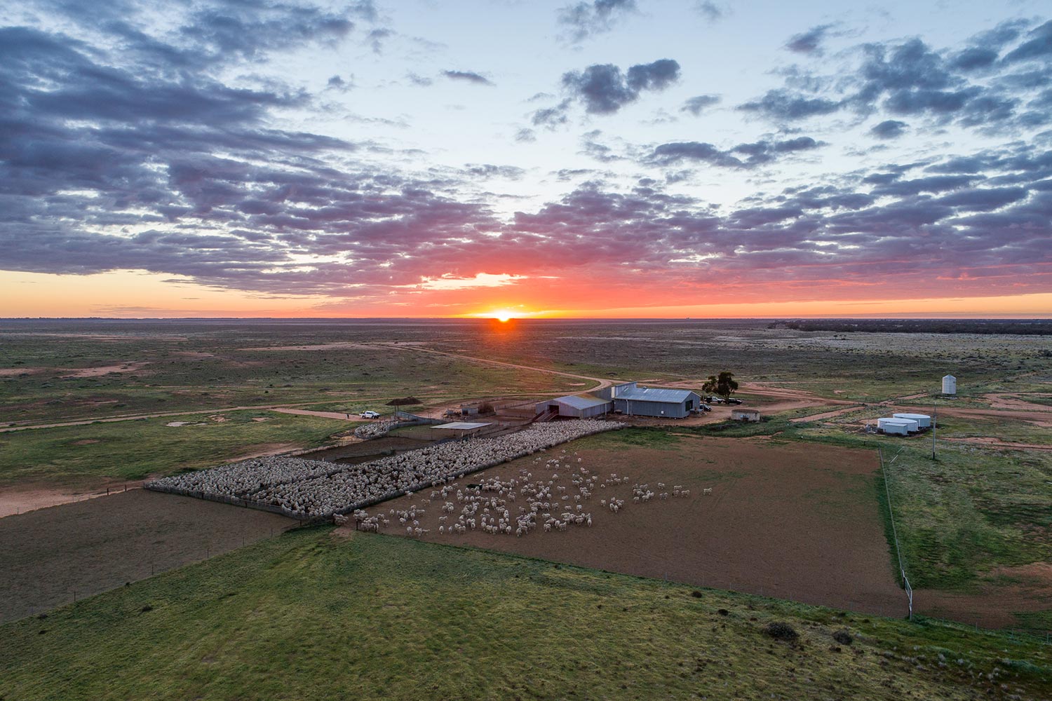
In a pioneering effort to safeguard the ecological heart of the Lowbidgee floodplain, rangers and scientists have deployed cutting-edge drone technology to monitor the health of lignum, a critical wetland plant. This marks the first annual survey in a significant four-year project between Flow-MER and Nari Nari Tribal Council (Hay and Balranald) aimed at understanding the intricate relationship between flooding patterns and lignum vitality.
Flow-MER is the Commonwealth Environmental Water Holder’s Science Program that assesses how the environment responds to environmental flows in the Murray–Darling Basin, to inform management of Commonwealth environmental water.
Conducted in March 2025, the initial survey at Gayini Conservation Area (formerly Nimmie-Caira) saw a collaborative approach, with scientists working hand-in-hand with the Nari Nari Tribal Council. The invaluable on-Country knowledge shared by the Nari Nari rangers proved crucial in guiding data collection, ensuring the research was both scientifically robust and culturally informed.
Why Lignum Matters
Lignum, a native shrub, is the cornerstone of healthy floodplain ecosystems, providing:
- Essential nesting spots for a diverse range of waterbirds.
- Crucial shelter for aquatic animals during flood events.
- Vibrant habitat supporting a wide variety of wildlife.
However, altered river flows due to agricultural needs and urban water supply have led to reduced flooding in some floodplain areas, threatening lignum populations. Regular inundation is vital for its health, and a lack of water can lead to weakening or even die-back. By closely observing lignum's response to varying water conditions, researchers aim to develop strategies for its protection and restoration.
High-Tech Insights from Above
To gather precise data, the research team utilized a specialised drone equipped with a multispectral camera. Unlike standard cameras, this advanced technology captures wavelengths of light that reveal the health of plants.
The drone meticulously surveyed 24 plots, each roughly the size of a soccer field (70 x 70 metres), spread across four diverse sites. These sites represented a spectrum of flooding histories, from recently inundated to areas that hadn't seen water in years.
The aerial mission collected three distinct types of data:
- True-colour images at an exceptionally detailed 1 cm resolution.
- Multispectral images at 2 cm resolution, using bands like Near-Infrared and Red Edge to accurately gauge plant health.
- Structure-from-Motion (SfM) data, which generates intricate 3D models of lignum shrubs and the surrounding terrain.
This comprehensive data allows scientists to construct a clear picture of lignum health and its direct correlation to water levels over time.
Early Findings Confirm Water's Impact
Initial analysis of the drone imagery and 3D models has revealed clear patterns:
- Greener, healthier lignum plants were consistently found in plots that had experienced more recent or frequent flooding.
- In contrast, plants in areas that had been dry for one or two years appeared weaker and thinner.
- The 3D models further illustrated that lignum in wetter zones was taller and fuller, while in drier areas, it was shorter and more open.
These findings emphatically underscore the profound impact of water availability on lignum's vitality. The drone's high-resolution capabilities enable the detection of even subtle changes in the plants without disturbing the sensitive wetland environment. Annual surveys of this kind will be instrumental in understanding lignum's long-term response to changing flood patterns.
The Road Ahead: Protecting Our Floodplains
The 2025 survey establishes a crucial baseline for this ambitious project. The team plans to return in March 2026 to the same locations to track changes and build upon this initial dataset.
Looking forward, the project will also explore the use of satellite data to extrapolate findings across the broader Lowbidgee floodplain. The ultimate goal is to seamlessly integrate drone data, satellite imagery, and invaluable local knowledge to inform vital decisions regarding:
- Strategic delivery of environmental water.
- Restoration and protection of key habitats.
- Sustainable land and water management that benefits both communities and nature.
This collaborative project, by weaving together cutting-edge science, innovative technology, and deeply rooted traditional knowledge, is poised to create a healthier, more resilient landscape for the Lowbidgee floodplain.
NEWS


SPORT


RURAL