The Darling River Run - one of Australia's best road trips
Krista Schade
12 January 2025, 4:00 AM

The Darling River Run is one of Australia's Great Driving Adventures.
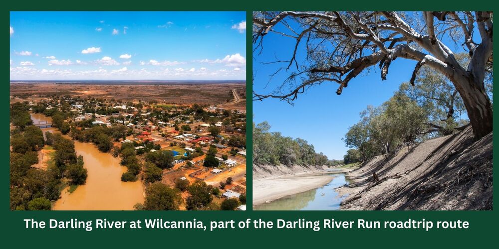
The Darling River Run is popular way to discover the outback including Tilpa, Wilcannia and Menindee which are towns in Central Darling Shire.
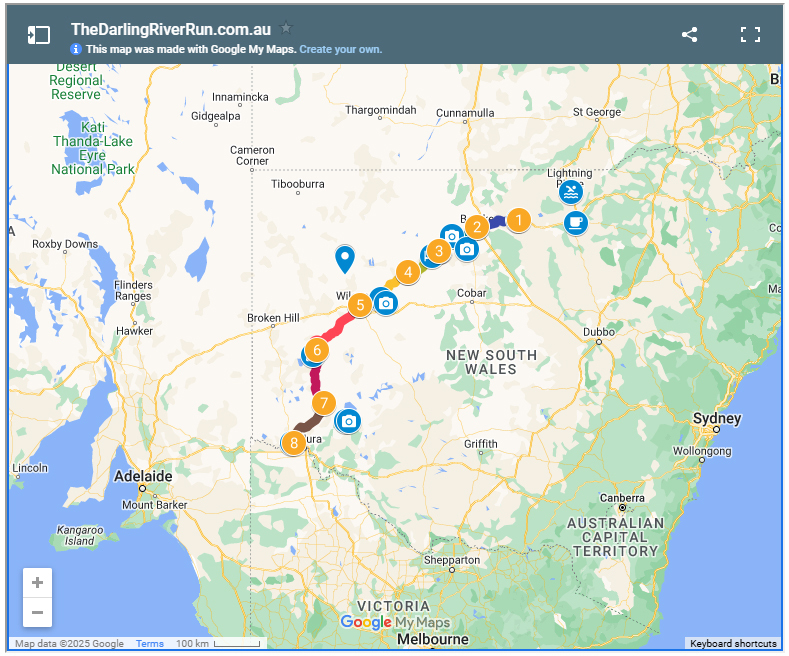
The Darling River Run is a spectacular journey stretching nearly 950 kilometres following alongside the mighty Darling.
It is a memorable road trip that is rich in history of pioneering days, showcasing impressive scenery and highlighting indigenous history and culture.
The Darling River Run is a thin, winding line describing a travel route through the NSW outback. It is characterized by landscape, history, culture, literature and adventure.
Taken as a whole, or in its various component parts The Darling River Run route provides an opportunity to see the real Australian bush at Darling River Towns. Experience some safe and easy off-road driving.
Connect with Aboriginal culture at iconic locations, and drench yourself in the history, and contemporary life of a part of the country that is central to the national psyche.

The ‘Darling River Run’ in its entirety is book-ended by the townships of Brewarrina in the North, and Wentworth in the South. This is where the Darling ultimately yields and converges, inexorably, with the might Murray River.
The headwaters of what is known as the ‘Barwon-Darling’ system emerge from Condamine-Balonne and Warrego Catchments in Queensland. And as far North as Augathella on the Western side of the ranges.
Crossing the border in a spread of ‘distributary’ streams, the tenuous connection is made through the Culgoa River. The Culgoa wanders down, a deep trench in a vast floodplain. This is where it connects with Barwon River roughly halfway between Brewarrina and Bourke.
This confluence is where the ‘Darling River’ and the Darling River Run driving route has it’s start. The Warrego joining the stream below Bourke, and the most remote catchment in the system, the Paroo, connecting (infrequently) just upstream of Wilcannia.

Departing from Brewarrina on the Darling River Run and travelling along the Eastern side of the river, the bitumen road is accompanied by the meandering stream. The River Red Gums touching closely to the roadside at points, and at other times the river that is the Barwon, wanders off to the west, leaving wide floodplains of scattered Box Trees and Coolabahs.
Along the road there is a single bridge crossing the Bogan River (commonly known as the ‘Dry Bogan’). At this point, the ‘Barwon’ lies just a kilometre away to the West.
The Bogan River, making a bee-line towards a confluence, changes its mind as it nears the Barwon River. Both streams bend back on themselves so that they only touch in the briefest kiss – probably expecting to met up again later. The two streams run in parallel, sharing a floodplain, and ultimately converging just North of ‘Mays Bend’ near Bourke.
But it is not the Barwon River that the Bogan River meets again. At almost the same location as their brief encounter, on the other side of the stream, the Culgoa River also converges and, claiming the union as its own, declares the ‘Darling River’ born.
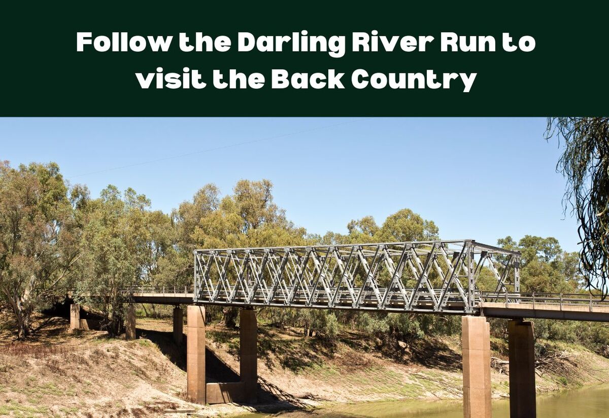
And so, the adventure begins at a nondescript, entirely unremarkable bridge on the highway between Brewarrina and Bourke.
The Darling River, characteristically secretive, quietly begins just out of sight, hidden in the spread of overhanging limbs and sprawling River Red Gums, and with it begins the Darling River Run.